HOME /ATAK PLUGINS & DATA PACKAGES /WATER INTEL — ATAK DATA PACKAGE | SPRINGS, WELLS, DAMS & EPA IMPAIRED WATERS
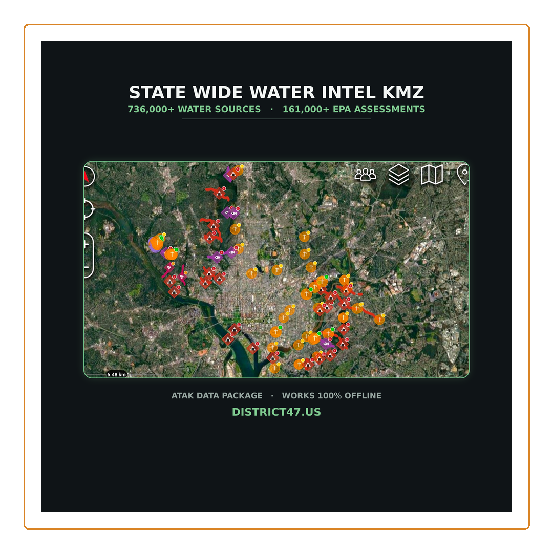
Water Intel — ATAK Data Package | Springs, Wells, Dams & EPA Impaired Waters
SKU: D47-WI-AL
Every mapped water source in your state — and the EPA's record of which waters are formally assessed as impaired, and by what.
A single KMZ file that turns ATAK into an offline water reference. Import it, toggle what you need, and tap any feature for the full agency record. No cell service required once it's on the device.
What's in your state file
- Springs — USGS NWIS, 3DHP and (in Florida) FDEP, with aquifer, GNIS name and source link
- Groundwater wells — depth, hole depth, altitude, aquifer codes, construction date
- Monitoring wells, test holes & collector wells — in their own folders, so you can switch them off
- Dams — hazard rating, storage, surface area, height, spillway type, condition and last inspection
- Waterfalls — named falls with GNIS name and NHD reach code
- Impaired streams — drawn as lines along the actual watercourse, colored by contaminant class
- Impaired lakes & assessment points — marked with the full EPA assessment record
Built for a field decision, not a spreadsheet
Every impaired water carries a contaminant class and a field read — because what matters isn't how bad a pollutant sounds, it's whether your treatment method removes it.
- A — AVOID. Survives normal field treatment. Dissolved metals, PFAS and synthetic organics, PCBs and dioxins, cyanotoxins. Filtering doesn't remove them and boiling concentrates them.
- C — CAUTION. Treatable with filtration plus boiling or chemical disinfection — pathogens, nutrients, acidity — but assume a higher load than usual.
- L — LOW concern. Sediment, turbidity, temperature, habitat alteration. Prefilter, then treat as normal.
Water sources carry a GPS accuracy badge too, so you know whether to walk straight to a coordinate or search a radius around it. Anything with unusable coordinate accuracy is excluded rather than shipped as a low-confidence point.
Data sources
Everything traces to a public federal dataset — USGS NWIS, USGS 3DHP, USGS NHD, the National Inventory of Dams (USACE), Florida DEP, and EPA ATTAINS under Clean Water Act §303(d)/§305(b). Nothing is inferred or field-collected by us. Compiled and styled for ATAK by District47.US.
What you get
- One KMZ file for your selected state — instant digital download
- Illustrated user & field guide (PDF) covering the icon system, badges and limitations
- Works 100% offline in ATAK once imported
Read this before you buy
This is a reference and planning aid — not a potability rating, and not a safety device. It cannot tell you whether any particular water is safe to drink.
An impairment listing describes whether a water body meets its designated uses under the Clean Water Act. It is not a measurement of what is in the water today. Water that appears on no list is usually water that has never been assessed, not water found clean — most small headwater streams have never been sampled. And no listing anywhere accounts for Giardia or Cryptosporidium, the realistic biological threat in any untreated surface water.
Filter and disinfect every source, every time, regardless of what this overlay shows. Never use it as your sole source for navigation, and never let it substitute for a boil-water notice or guidance from a public health authority. A mapped source also says nothing about whether you may lawfully reach it — many sit on private, tribal or restricted land.
Digital download. No refunds on delivered digital goods.