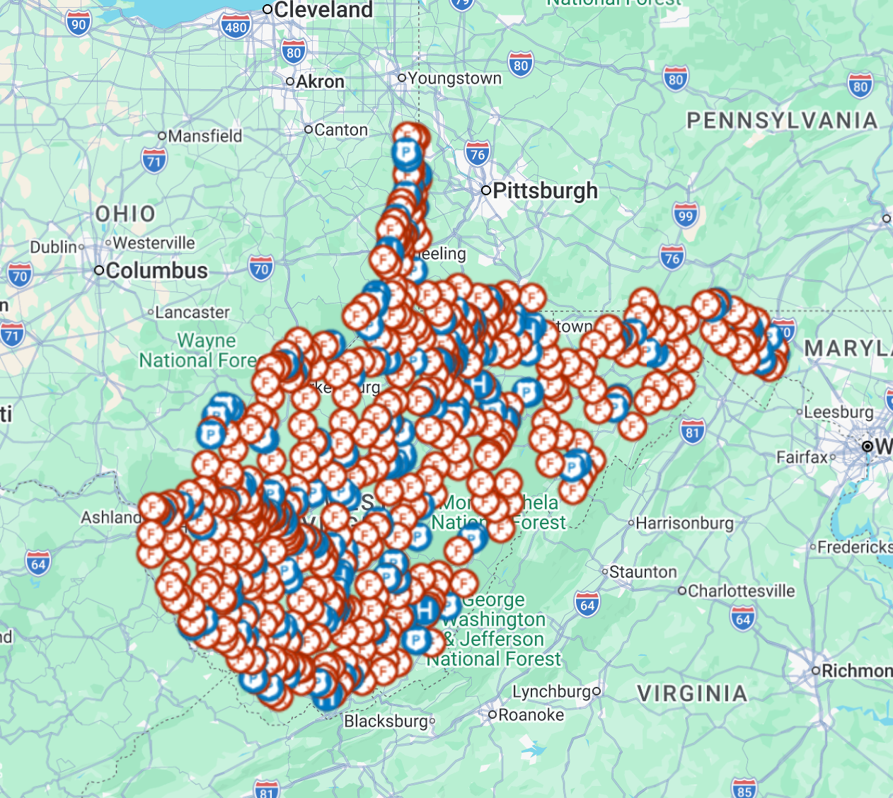
When seconds count, you can't afford to search for the nearest hospital or fire station. This ready-to-import KMZ map package puts every hospital, fire station, and police station in your state directly on your TAK map — fully offline, no internet required in the field.
What's Included
🏥 Hospitals & Medical Centers
🚒 Fire Stations & EMS Stations
👮 Police Stations & Law Enforcement
Every location is color-coded and icon-labeled by category, so you can identify critical infrastructure at a glance — even under pressure.
Compatible With
✅ ATAK (Android Team Awareness Kit)
✅ WinTAK
✅ iTAK
✅ TAK Aware (iPhone)
✅ Google Earth
✅ Any KMZ-compatible mapping application
How to Import
Download the .kmz file and import it directly into your TAK-compatible app or mapping software. No additional setup required — layers load instantly with full icon and color formatting intact.
Perfect For
First responders & emergency management
Search and rescue teams
Preppers & survivalists
Law enforcement & military personnel
Anyone who needs reliable offline situational awareness
📦 Delivered as a single .kmz file — instant download. Data sourced from the U.S. Geological Survey (USGS) National Structures Dataset.