HOME /ATAK PLUGINS & DATA PACKAGES /US–MEXICO BORDERLANDS SAFETY — 17,480 FEATURES ACROSS 4 STATES | FREE AREA-CODED KMZ FOR ATAK, TAK AWARE & GOOGLE EARTH
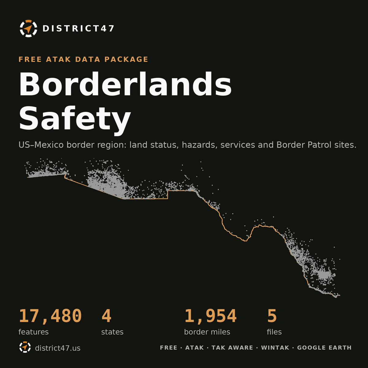
US–Mexico Borderlands Safety — 17,480 Features Across 4 States | Free Area-Coded KMZ for ATAK, TAK Aware & Google Earth
SKU: D47-BX-ALL
Most border maps show a line. What actually hurts people out here is the ground on both sides of it: 110° heat, irrigation canals that look shallow, land you need a permit to cross, and 40 miles to the nearest hospital. This package puts all of it on one offline overlay.
WHY IT'S IN THE SHOP
Border residents, ranchers, hikers, search-and-rescue volunteers and responders get the same three questions wrong every summer: whose land is this, where's the water, and how far is help? Every answer here comes from public federal and county records, pulled into one file that works with no signal.
WHAT'S INSIDE — 17,480 FEATURES, 4 STATES
- 9,694 recovered remains, 1981–2025, from medical examiner, sheriff and CBP records. A sun pin marks heat deaths, a drop marks drownings; pins are colored by year. Read it as a lethality map. Names are omitted.
- Land status: State trust land, BLM, Forest Service, wildlife refuges, national and state parks, tribal reservations, wilderness, and 32 military installations and ranges. Shaded and flagged where a permit is required.
- Help and water: 114 hospitals, 585 fire / EMS stations, 235 police and sheriff offices, and 516 USGS springs.
- Border and barrier: the IBWC international boundary, the 2017 fence baseline (pedestrian fence vs. vehicle barrier), and CBP's 2025–26 wall construction projects by status.
- Border Patrol: 47 stations, 34 interior highway checkpoints, and sector boundaries.
- 28 ports of entry and 5 historical tunnel areas (Nogales, Douglas, San Luis, Otay Mesa, Calexico), generalized to the port area and all remediated.
- 1,209 trail segments from the Forest Service and National Park Service.
PICK YOUR FILE
- Arizona: Yuma, Pima, Santa Cruz and Cochise counties
- California: San Diego and Imperial counties
- New Mexico: Hidalgo, Luna and Doña Ana counties
- Texas — West: El Paso to Del Rio, including Big Bend (7 counties)
- Texas — South: Eagle Pass to Brownsville, plus the Brooks / Jim Hogg / Kenedy checkpoint belt (9 counties)
- All 4 States: every file above
FIELD NOTES
Shaded areas don't open a popup when you tap them. Tap the square icon inside the area instead. That's deliberate: panning across land status in ATAK shouldn't throw a card every time your thumb lands. Points and lines still open the standard D47 card.
Each state ships as two KMZs, base layers and recovered remains, so an older phone only loads what it needs. The largest single file is Arizona's remains layer at 4,444 points.
What it doesn't do: it isn't live. CBP construction status changes month to month. The fence layer is a 2017 baseline, and much of the vehicle barrier has since been replaced by bollard wall. Texas has no statewide death reporting, so Texas remains are an undercount. Private land isn't shaded; in Texas, blank ground is almost always private.
Sources: USGS PAD-US 4.1, NWIS and National Structures; USFS; NPS; DoD MIRTA; Census TIGER / IBWC; BTS; CBP; Humane Borders / Pima County OME (Arizona remains); San Diego, Imperial, El Paso, Brooks, Kenedy and Maverick county records. Border fence 2017 layer: Reveal from The Center for Investigative Reporting and OpenStreetMap contributors (revealnews.org/wall), available under the Open Database License. Data is as published by each source.
DISTRICT47 · district47.us