HOME /FREE ATAK DATA PACKAGES /FREE: FLOCK ALPR CAMERA MAP — 296,310 LICENSE PLATE READERS | NATIONWIDE, REGIONAL & STATE KMZ FOR ATAK, TAK AWARE & GOOGLE EARTH
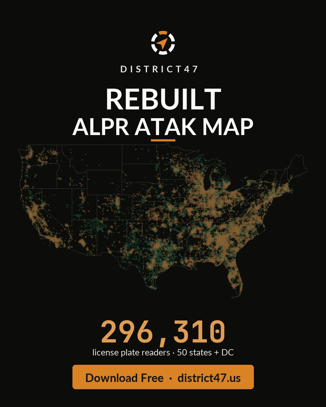
FREE: Flock ALPR Camera Map — 296,310 License Plate Readers | Nationwide, Regional & State KMZ for ATAK, TAK Aware & Google Earth
Every automated license plate reader Flock runs, on one map. Not the crowd-sourced version — the device list from Flock's own production system.
This free KMZ overlay drops 296,310 Flock ALPR cameras straight into ATAK, TAK Aware, WinTAK, or Google Earth. Fully offline once imported. No account, no subscription.
WHY IT'S IN THE SHOP
The road is instrumented, and almost nobody can see the instrument. This layer shows which corridors are watched, which are blanketed, and which cameras aren't live yet — before you drive them. It carries 2.4× more cameras than the old crowd-sourced map, with a real device card on every pin.
THREE WAYS TO DOWNLOAD — pick your variant above:
- Nationwide — one file, every camera, smart-tiled so the map only draws what's on screen. No more "too big to open."
- By Region — 7 files: Northeast, Southeast, Midwest, Southwest, West Coast, Mountain West, and Pacific & Territories.
- By State — every state plus DC as its own file; load only the ground you cover. The By-State files carry the full device card and directional field-of-view cones.
WHAT'S ON EVERY PIN
- Device model (Falcon, Raven, Condor, Wing and more), status, true heading, live-stream and plate-read flags, install and last-update dates, coordinates.
- Color-coded status — green in service, amber in planning, red decommissioned.
- Directional field-of-view cones on the By-State files, wherever a verified heading exists.
WORKS WITH
ATAK (Android) · TAK Aware (iOS) · WinTAK · Google Earth · any KMZ-compatible app.
FIELD NOTES
This is Flock's internal planning data, current to late 2025 — more complete than the public map. "In-planning" cameras are proposed sites that may not be installed yet; treat an amber pin as "coming," not "confirmed on the pole." The Nationwide and By-Region files use a compact pop-up so a 300k-camera file stays loadable; the By-State files carry the full device card and the field-of-view cones. If you only need your area, start with your state file.
Source: Flock Safety production ArcGIS export, published by Joshua Michael (2026) under CC BY 4.0 (creativecommons.org/licenses/by/4.0). Data is as-published; District47 does not verify individual records.
DISTRICT47 · district47.us